• Welcome To Explore Engineering Consultants Pvt. Ltd.
  • Enquire Today
  • C-273, Ground Floor, Sector-63, Noida (UP) 201301
  • Send us mail at
  • [email protected]
  • 0120-4333415
  • 0120-4333416
Enquire Today
  • Home
  • About Us
  • Services
    • Geotechnical Investigation
    • Topographical Surveying
    • Laboratory testing of Soil and Rock
  • Empanelment
  • Projects
  • Our Policy
  • Contact Us

Topographical Surveying

Product

  • GEOTECHNICAL INVESTIGATION
  • Topographical Land Surveying
  • LABORATORY TESTING OF SOIL

TOPOGRAPHICAL SURVEYING

We are into topographical survey of land also. We are equipped with high precision machine like Total Station and DGPS and our specialist surveyors prepare physical and contour survey drawing of land in all kind of terrain.
We are listing herewith following services, we offer for our clients:

We are listing herewith following services, we offer for our clients:

  • Topographic Survey
  • Land Contour Survey
  • Property Survey
  • Route Alignment Surveys

What is a Topographic Survey?

Topographic surveys are a type of survey that measures the elevation of a particular piece of land at various points. These points are then illustrated as contour lines on a map/plot.

Contour lines are curved or straight lines on a map that join points of the same elevation together to indicate the elevation and steepness of a particular area of land. For example, a very steep mountain on a survey will have lots of very close-together contour lines, whereas flat land will have very spaced out contour lines.

What are they used for?

Topographic surveys are widely used around the world for a variety of reasons. The three main categories their use can be classified into include development, planning and land use. These surveys can be drawn to appropriate scales to suit the purpose it is for.

Many construction projects start by using a topographic or land survey to help with the initial design stage of the building – including the best area of land for it to be built, and what features may get in the way. They are well known for their use in orienteering and hiking. They are also the easiest types of maps to understand and navigate from. It is important for serious hikers to know the elevation and steepness of their surroundings, particularly in very hilly areas.

img

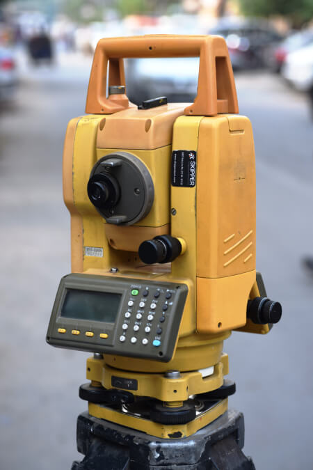
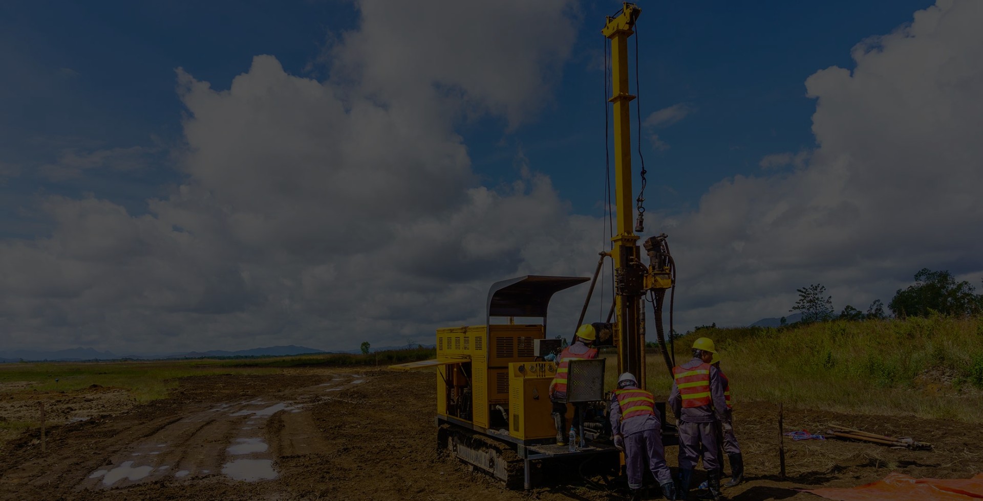
We are a Geotechnical Engineering and Engineering Surveying organization that provides complete solutions to clients and have an impeccable track record of executing a variety of projects all across India

Links
  • Home
  • About Us
  • Empanelment
  • Projects
  • Our Policy
  • Contact Us
Get In Touch

C-273, Ground Floor, Sector-63, Noida (UP) 201301

Telephone: +91 1204333415 / 4333416
Phone: +91 9810263821 +91 9899787317

Mail: [email protected]

Copyright © EXPLORE All Rights Reserved. | Designed By Om Soft Solution - Website Designing Company in Delhi.